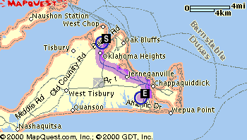
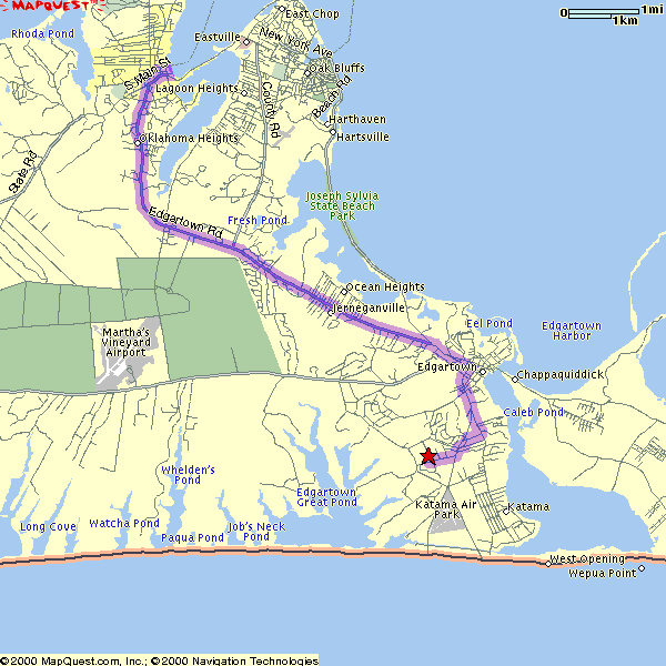
Here are three maps of where the house is located:
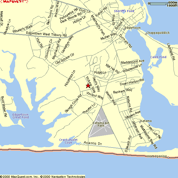
Here are some directions. Note that the ferry with either take you to Vineyard Haven or to Oak Bluffs. From either location, you must head east toward Edgartown. The directions below will take you from the A&P grocery store in Edgartown to 22 Vickers Way. The A&P will be on your left in Edgartown.
- Bear right at the fork onto Cooke St.
- You will come to a 4 way stop. Go straight through.
- At the next 4 way stop, take a right onto Pease Point Road.
- You will come to a 4 way stop. Go straight through.
- At the next 4 way stop, take a right onto Clevelandtown Road. (If you took a left, the road is called South Water St.)
- About .4 miles, take a left onto Road to the Plains.
- About .5 miles, take a left onto Vickers Way. Vickers Way is a dirt road and is not well marked. It is the next left after Duarte St.
- #22 is on the right, behind a bunch of trees.
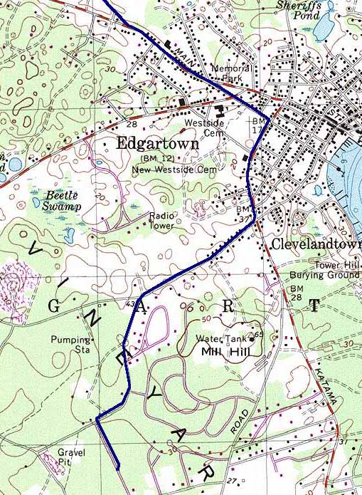
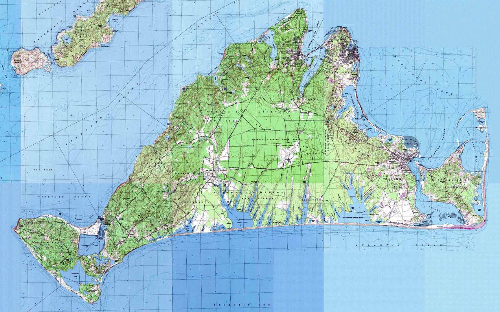
Click here for a full topo map of Martha's Vineyard.
I used my GPS receiver to plot the route below.